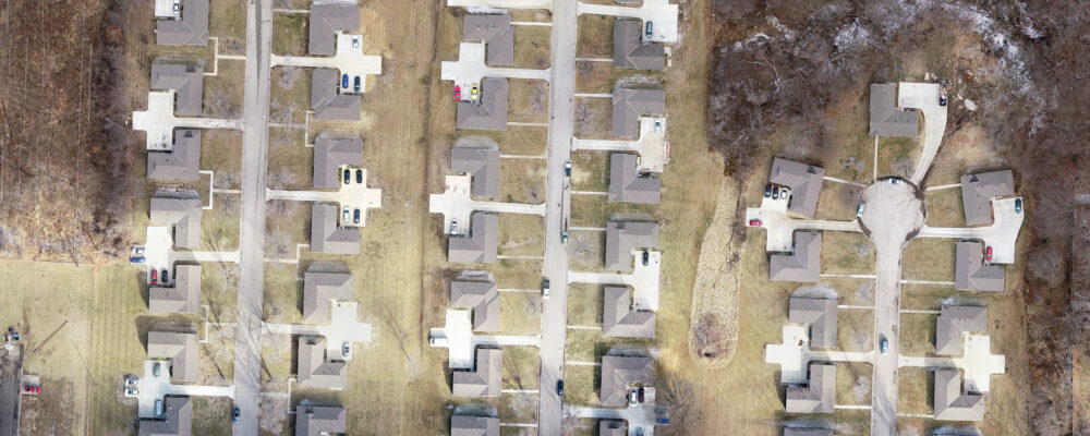
RIC recently provided an As-Built ALTA/NSPS Land Title Survey for the Roseland Court Duplexes located in Kansas City, MO. RIC’s Survey Field Crew joined forces with RIC’s Commercial Drone Services to capture UAS data utilizing our drone. The drone acquired imagery was processed into a highly accurate Orthomosaic Image for use in feature extraction of all planimetric features of the street, curbs and gutter, sidewalks, above ground utilities, and housing units.
RIC’s Survey Field Crew provided Ground Control Points for the UAS image acquisition flight and acquired supplemental measurements to verify the location of housing units and boundary reconciliation.

