RIC’s team of engineers and surveyors have years of experience providing professional services for various federal agencies. Leading our federal team, Steve Roberts, PLS, CFedS carries a professional land surveyor license in 12 states and is a Certified Federal Surveyor. Steve has over 30 years of experience working with multiple USACE districts and other federal agencies managing complex boundary, topographic, ALTA, bathymetric, and HD Scanning surveys across the nation.
With offices centrally located in the U.S., RIC is able to respond quickly and efficiently to project needs across the nation.
Duns Number: 961719544
Cage Code: 5XD13
Small Business
Services
- Land Surveying (NAICS Code: 541370)
- Civil Engineering (NAICS Code: 541330)
- Landscape Architecture (NAICS Code: 541320)
Market Leaders
-

Steve Roberts
PS
Director of Federal Programs
-

Chris Chalmers
Director of Federal Programs
Projects
-
FEMA Surveys & 3D Scans
FEMA Surveys & 3D Scans
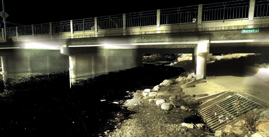
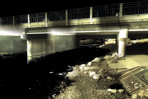
×RIC provided ground surveys for FEMA floodplain studies in Kansas, Nebraska, and Missouri. The work included establishing horizontal and vertical control at each site, providing river and creek cross sections from top of bank to top of bank in pre-determined areas, and taking required pictures of each cross section. RIC also provided a High Definition scan of 6 bridges which included a scan of the upstream and downstream face of the structure and a complete scan over the top of the structure. The scans were registered to make one complete point cloud and was delivered with all required field notes and pictures.
-
Birch Lake & Skiatook Lake Boundary Surveys
Birch Lake & Skiatook Lake Boundary Surveys
×RIC, working as a subconsultant, performed a boundary survey for the USACE Tulsa District. The survey required recovering a portion of the existing U.S. boundary line along portions of Birch Lake and Skiatook Lake, located in Osage County, Oklahoma. The boundary corner monuments for these two lakes were originally set between 1977 and 1981.
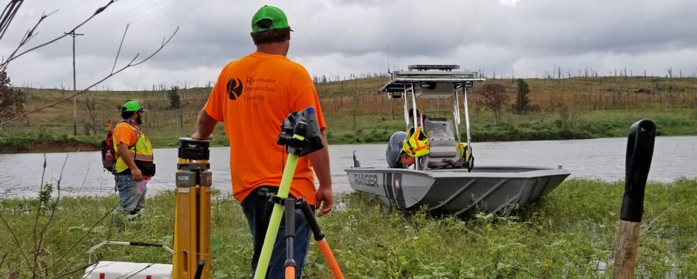
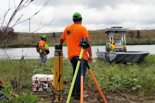
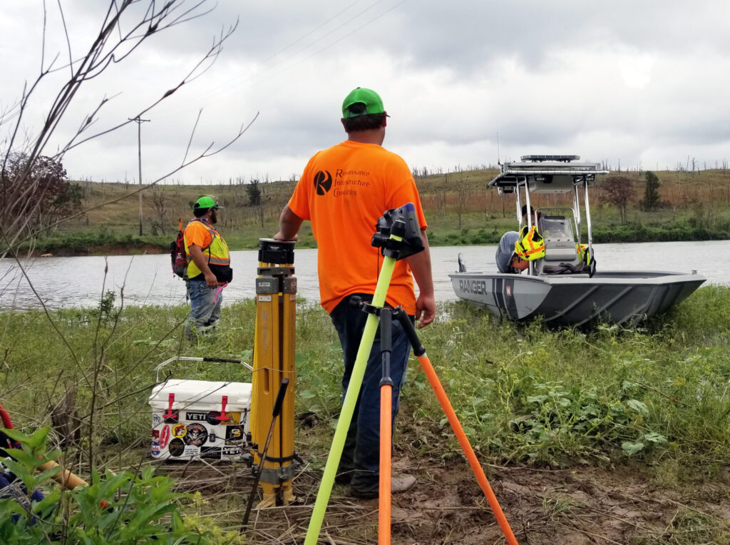
RIC was responsible for setting and referencing control monuments, performing static GNSS surveys to establish horizontal and vertical control, compute WGS84 (ITFR2014) Oklahoma Oklahoma North State Plane Coordinates, research deeds and record surveys, recover existing boundary corner monuments, determine State Plane coordinates of all found and missing corners, and reset any damaged or missing corner monuments. The survey locations were very remote and in rugged terrain. The survey crews made arrangements with the Corps personnel at the lakes to have them provide access to the survey site via boat.
RIC also computed coordinates for all found and missing corners and developed a Plat of Survey for each lake in MicroStation and PDF format. The project had an accelerated period of performance that was met by both our field and office personnel.
-
Indian Creek Flood Assessment
Indian Creek Flood Assessment
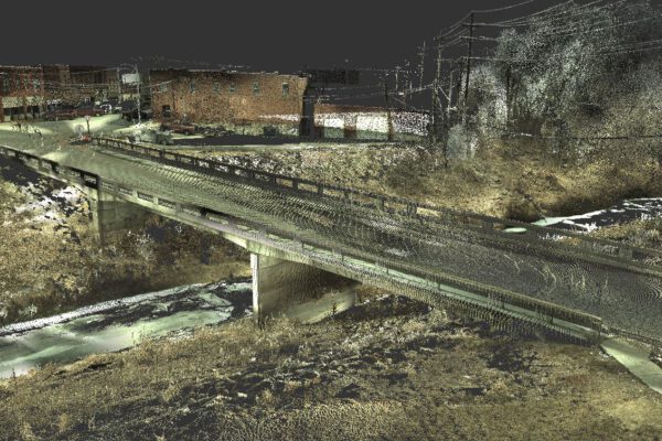
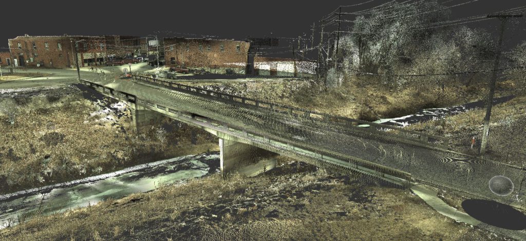
×Serving as a subconsultant on the USACE Kansas City District Civil Works Planning and Design Services IDIQ, RIC conducted 15 creek cross sections and High Definition LiDAR Scans of four bridges along Indian Creek in Kansas City, MO. The survey was accomplished by using Survey Grade GNSS Receivers and utilized the Missouri Virtual Reference System (VRS) for RTK correction as well as referencing to existing horizontal and vertical control monuments. One primary control point was set at each bridge location and additional secondary control points were set as needed. High definition scans were conducted at each bridge utilizing a Leica C-10 Scanner. The scans included the bridge opening on each side of each bridge. The final deliverables included a coordinate list and registered point clouds of each bridge.
